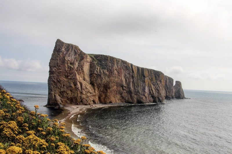
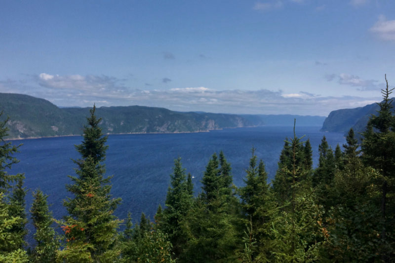
We return to the shores of the St. Lawrence River after leaving it when we arrived in the Gaspésie. However, in this part of the river, known as the “Lower” part, the landscapes are completely different, but the beauty of the blue water is still impressive.
RIMOUSKI
We spent two nights in Rimouski Couchsurfing with French students so that we could enjoy a full day in the nearby Bic National Park. Rimouski is the regional capital of the Lower St. Lawrence and its name means “land of the moose” in the Indian language. This city doesn’t have much to offer apart from its proximity to the Gaspésie and the Bic National Park, but the lovely seaside promenade is a great opportunity to stroll quietly and enjoy beautiful sunsets.

If you are passing by, I advise you to drink a coffee at La Brûlerie d’ici and a good pint at le Bien, le Malt.
La Brûlerie d’ici is an authentic Brûlerie. The term brûulerie is the installation for the roasting of coffee beans. And in this ultra-cosy café for a town without much charm, you can taste about thirty coffees from all over the world as well as many teas if coffee is not your cup of tea…(ha ha). It is a charming place where you can travel through your taste buds.
Le Bien, le Malt is the microbrewery of Rimouski. After having visited all those that were on our way, we spent an evening in it with our hosts and their friends. This microbrewery is known for its English and Irish inspired beers, enough to delight my senses.
BIC NATIONAL PARK
The Bic National Park is considered to be the small jewel of the Bas-Saint-Laurent, small since it covers only 33km2, of which 14.4km2 are in the waters of the river, this to protect the seals which are the emblem of the national park.
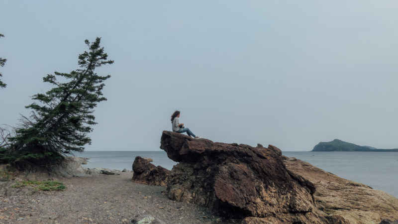
It is a real coastal-marine park where the land stretches out to form bays and peninsulas embracing the river. At the rhythm of the tides, many activities are offered to everyone, even if the weather is not always fine. On our side, we were not lucky during our day spent in the park. Nevertheless, we keep a nice souvenir in this incredible natural space.
Daily Rate in 2018
Adult – 8,60 $
ACTIVITieS
As usual, we favoured hiking and observation points, however, we were determined to observe seals. To do so, you can go on kayak outings or take advantage of the experience of naturalists, but this has a cost and given the bad weather, we went on two short hikes and a viewpoint (from which we saw seals!!).

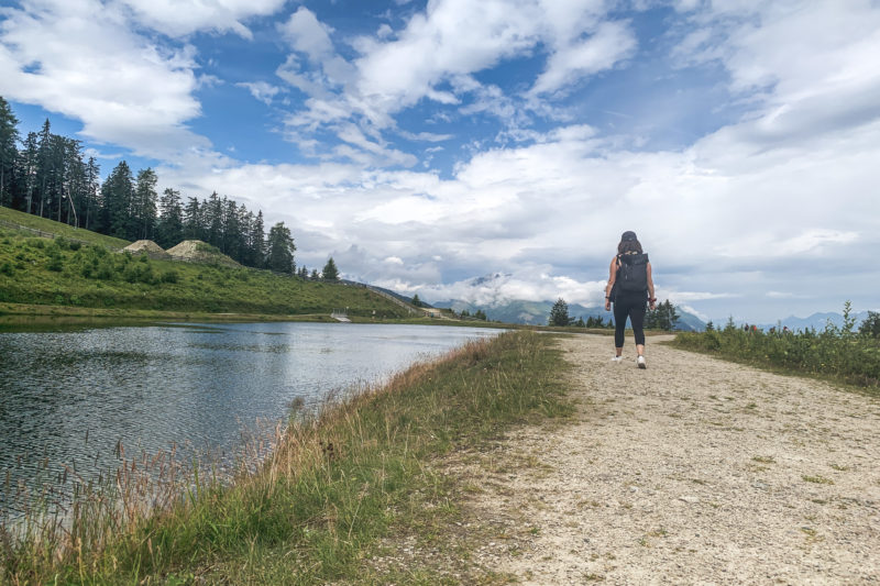
After having parked at the Discovery and Service Centre – Ferme Rioux, we started on the Chemin-du-Nord trail that runs along the coast and the sea, sometimes winding through the forest. It’s a very easy 4km loop. We had learned that a nice café opened at 10:30 am, which seemed to us the best way to “start our day” by enjoying a good coffee with a view of Cap-à-l’Orignal. Beautifully called “La Rose du Nord” (The Northern Rose), this café looks like a cosy chalet surrounded by an enchanting décor. On the way back, we walked a bit off the path to weave our way from bays to beaches in the rocks.

We then headed to the Pointe aux Épinettes from where the view of Anse à l’Orignal is superb. After ten minutes of climbing up the hill, we arrived at a viewpoint from where we finally spotted seals! It was not easy to distinguish them from the rocks on which they were resting.

Finally, we decided to take the afternoon’s flagship hike in the park, the one to Pic Champlain. I will nevertheless give you a little historical reminder since Samuel de Champlain is the French navigator and explorer who founded Quebec City in 1608.
Peak Champlain, which is at an altitude of 346m, is the highest peak in the Murailles massif. It is the park’s flagship hike since a magnificent view of the surroundings from the belvedere is on the programme. Indeed, a belvedere has been set up with a 180° view over the Bay of Ha! Ha! (yes that’s the real name of this bay).

We parked at the Pic-Champlain parking lot and started our climb in the woods. According to the park’s information, the length of this walk is 6km and takes about 2 hours, but for the lazy ones, a shuttle goes up there every 30 minutes, but count on $10 per return.
There is no need to be afraid of this walk, although the trail climbs through the forest. The difficulty is noted as intermediate, but we found it quite easy. Thus, the ascent is done in the forest with sometimes some breakthroughs on the bay of Ha! Ha! Accompanied by the squirrels and chipmunks that populate the forest, we finally arrived at the top and discovered a not so breathtaking view. The panorama is not so clear and the rendering is a bit disappointing, maybe it was because of the bad weather.

I come back to the interesting name of the Bay of Ha! Ha! that we already discover from the road before arriving at the discovery centre. Indeed, its name is the object of various legends and interpretations. Here you can find the origins and meanings of this term (in French). I still think that the name I prefer is that of l’Anse à Mouille-Cul (literally “ass wet”)… the meanings are also numerous but I’m sure you must have a little idea. You will find the answers in French here.
Quebecers are fond of funny names and they have even named activity in the park “Completely Seal Wolf”.
« stars » of the park
The harbour seal is the emblem of the park and its territory is a privileged habitat for it. The harbour seal population has been monitored since 1998 in collaboration with the Marine Mammal Observation Network. Conservation is very important for all Quebec national parks.
Approximately 200 harbour seals and 50 grey seals love to rest on the boulders found in the coves and bays of the park.

To observe them, it is absolutely necessary to respect the signs indicating the limit of the observation area, because if you get too close, they may feel threatened and then leave their resting area. So, to observe them, I recommend the above-mentioned Pointe aux Épinettes, at mid-tide to high tide. At low tide, you will have to go to Cape Caribou.
ROUTE FROM RIMOUSKI TO QUEBEC CITY
Our last step before enjoying the great cities of Quebec is this trip on Route 132, also known as the Route des Navigateurs, which will take us, over 350 km, to Quebec City.
We then pass by Kamouraska, which means “where there is a rush at the water’s edge” in the Algonquin language, and which is part of the Association des plus beaux villages du Québéc, however, we didn’t stop.
LÉVIS
Before arriving in Quebec City, we made a small diversion through Lévis, which faces it. From this pretty little town, the view of Old Quebec is magnificent and allows a good first impression, especially from the Terrasse de Lévis. It was inaugurated in 1939 by Georges IV and his daughter, the future Elizabeth II. This esplanade overlooks the river and offers a superb panorama of Old Quebec and the city’s famous landmark, the Château Frontenac.


This was our last stop before visiting the two major cities of Quebec: Quebec City and Montreal. We loved discovering and strolling in the nature of this Canadian province! And you, what are your memories of Quebec?

